ダムや海、山、川、岬を巡るツーリングを通し関東を主に日本の風景を紹介します

Category: ダム ( Dams )

3 Dams a Day( ARIMA Dam, FUTASE Dam, KAKKAKU Dam )Touring- Part of FUTASE Dam

This story is continued from the part of ARIMA Dam. I rode on route 140 through route 299 to get to RAIDENTODOROKI Bridge ( so called loop bridge). Beyond the bridge I get to TAKIZAWA Dam. The entrance for FUTASE Dam. is CHICHIBU side than TAKIZAWA Dam and I seemed to overlook the entrance. The sign on route 140 does not say ‘FUTASE Dam’ but ‘CHICHIBU Lake’. I recommend you to be careful when you will go to the dam, but you usually will not overlook if you use car navigation system.

Arrival at FUTASE Dam
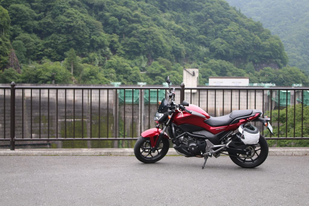
二瀬ダム前でNC750Sを撮影
Though the handrail bothers, beyond that is cliff.

You can get to FUTASE Dam by a little ride from route 140 to pref. road 278. The rest park served as also an observatory is available. The parking is enough large but the equipment and shops around look old. The dam is completed in 1961, it is natural that they are old if they had been built at the same time.

The Beautiful Arch of FUTASE Dam
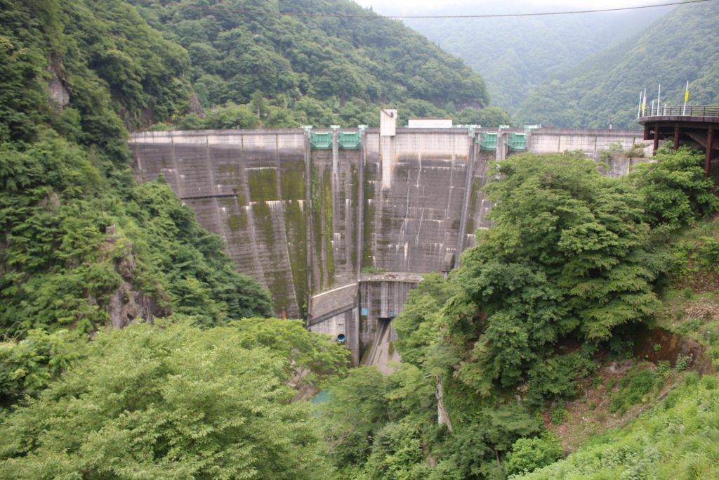
二瀬ダムを展望所から望む
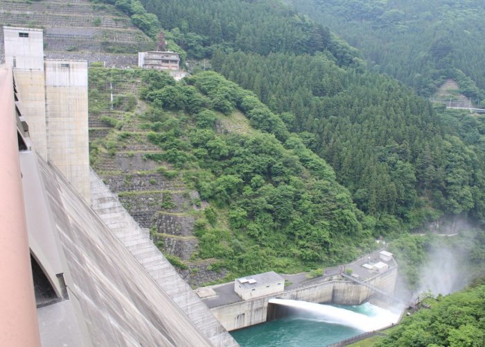
A little dirty and ivy laid body is the characteristics of FUTASE Dam.

FUTASE Dam had been realized as a concrete arch dam when it had been completed. The arch is beautiful and the design is so different from that of URAYAMA Dam or TAKIZAWA Dam ( the both is a concrete gravity dam) . The parking is located in front of FUTASE Dam on the left side of pref. road 278 and you can reach MITSUMINE Shrine through the road on the dam.

Though the dam had been realized as an arch dam, recently it is realized as an arch-gravity dam. The design of the dam never changed but the classification is updated and variegated.
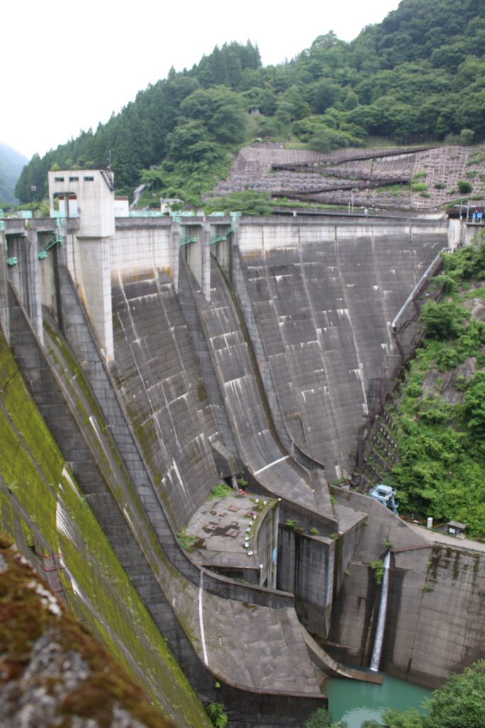
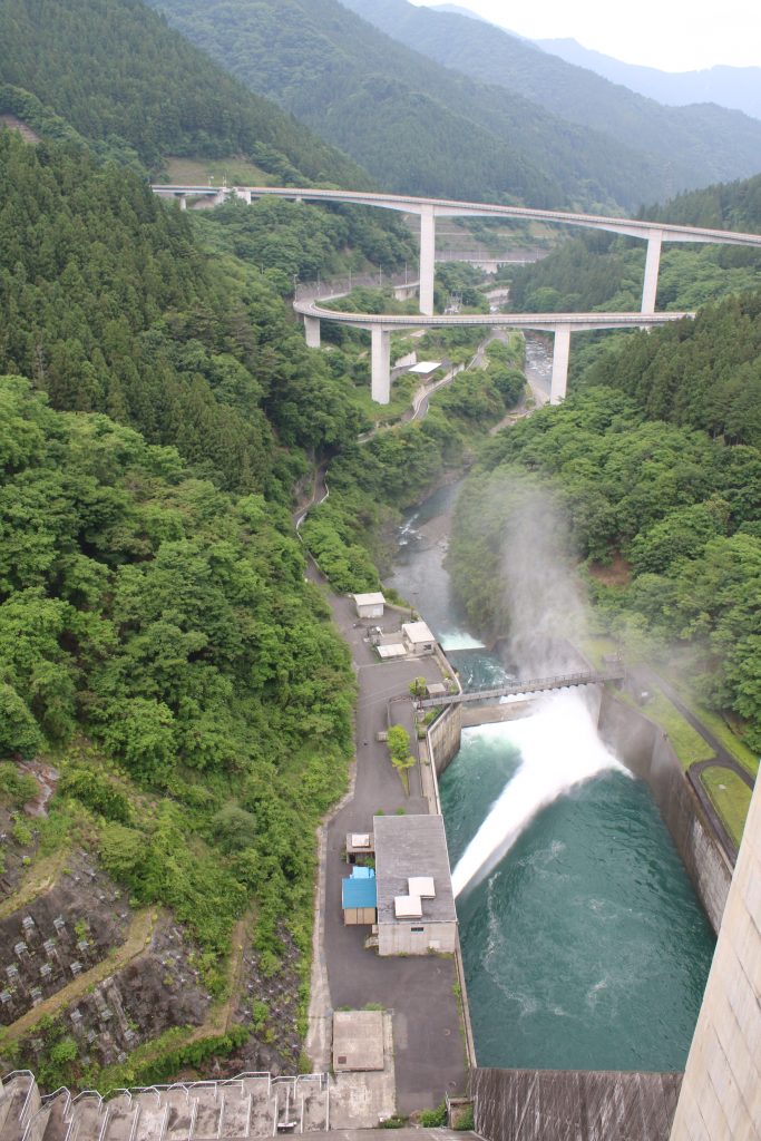
二瀬ダムの堤体を右岸から望む
The shape of the spill way like a ski jumping slope is characteristic.

Pref. road 278 on the dam is served as a one way, alternative traffic by the signal timing. So the waiting time of the signal is longer than usual, but it is in order. Actually, the top of the dam is narrow and cars can not cross each other. The signal must be followed.

The photo above was taken from the right bank of the dam. The ski jumping slope shaped spill way is very characteristic. The main purpose of FUTASE Dam is flood control but at the same time power plant is operated. The power plant is built under the ski jumping slopes. You can find the zigzag fold in the photo. The pavement has been equipped there and you can see the dam from bird’s eye view.

The Beautiful Arch of FUTASE Dam
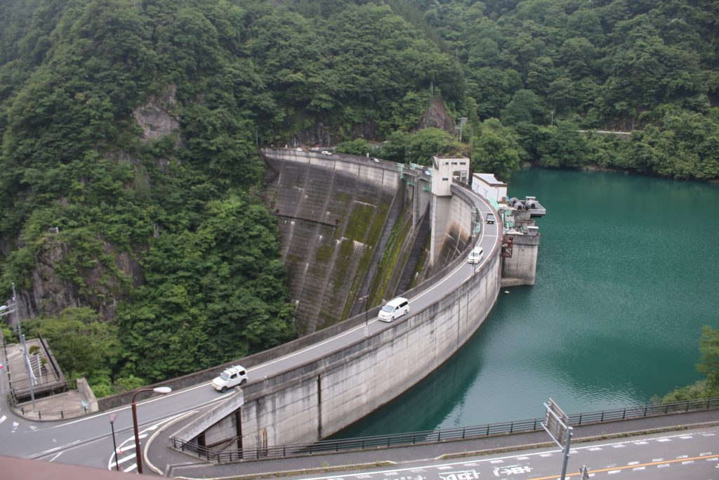
二瀬ダムの美しいアーチ
The beautiful arch of FUTASE Dam

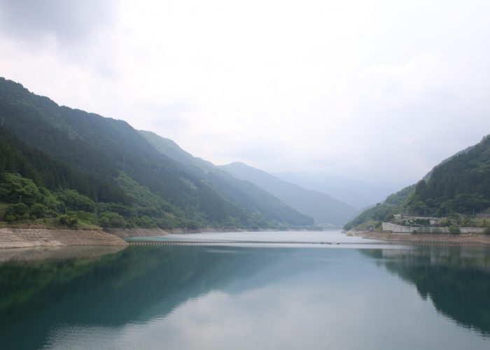
The photo above was taken from the observatory on the left bank of the reservoir. Pref. road 278 stretches on the arch shaped top of the dam. The landscape that edge of dam body seems to penetrate the rocky mountain is powerful and impressive. On the top of dam, more cars run than I imagined because there is the famous shrine, MITSUMINE Shrine through pref. road 278 to mountain side.
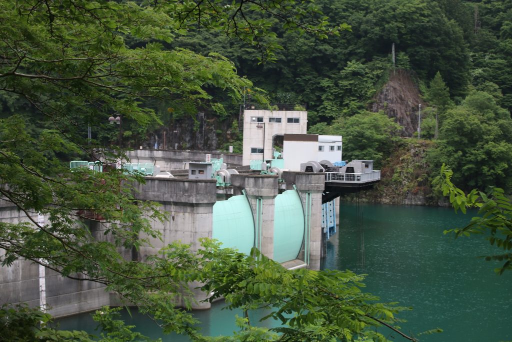
二瀬ダムの洪水吐
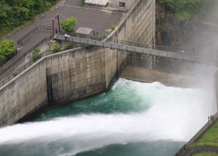
The gates of spill way are also arch shape.

The gates of spill way are also arch shape and it is interesting. I would like to take more photos but it started to rain and the way to KAKKAKU Dam was left. I left FUTASE Dam for KAKKAKU Dam to complete 3 dams a day touring.

To be continued to the part of KAKKAKU Dam.
3 Dams a Day ( ARIMA Dam, FUTASE Dam, KAKKAKU Dam ) Touring – part of ARIMA Dam

The Solo touring for 3 dams a day

Someday, I was planning the solo touring for FUTASE Dam and KAKKAKU Dam. I found that I can visit ARIMA Dam if I rode metro road 53rd ( OME-CHICHIBU line ) from IKUSABATA, in front of OKUTAMA to CHICHIBU. I decided to take the way and started the 3 dams a day touring. Though I selected the way according to my taste, the way from OME on metro road 53rd is the shortest way.

I arrived at ARIMA Dam

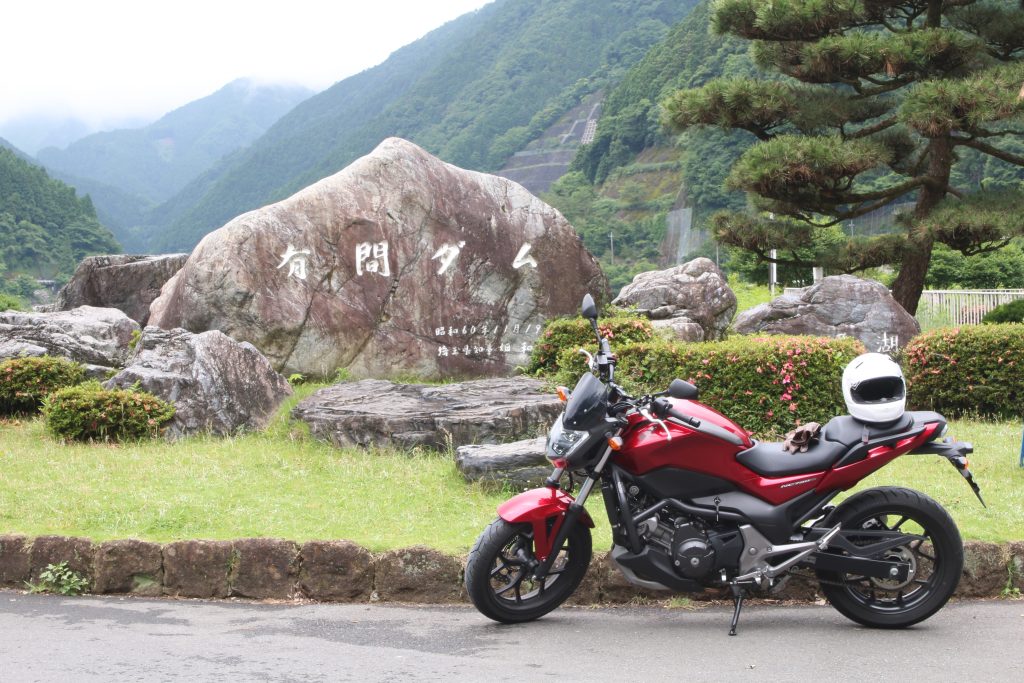
有馬ダムの前でNC750Sを撮影
Taking photo of NC750S in front of the monument says ‘ARIMA Dam’

There is ARIMA Dam near from halfway of metro road 53rd. You can get there without losing the way. The monument say ‘ARIMA Dam’ stands on the side of the road and can be found easily. The first, I took the photo. The reservoir of ARIMA Dam is named ‘NAGURI Lake’. Behind NC750S, though it is hidden by alpenroses, the monument says ‘NAGURI Lake’ stands.

ARIMA Dam is the first Dam Saitama Pref. Administrates

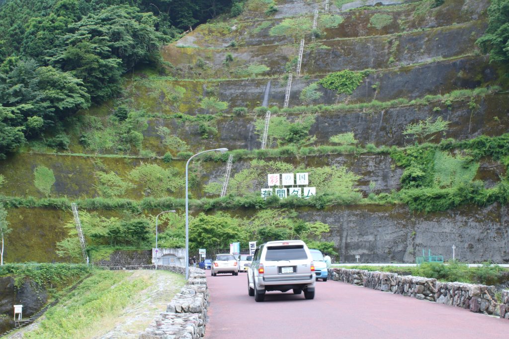
彩の国 有間ダム
The top of ARIMA Dam is a normal road.

ARIMA Dam is completed in 1986 and is administrated by SAITAMA Pref. SAITAMA Pref. manages 2 dams, ARIMA Dam and KAKKAKU Dam in 2020. ( The web page of SAITAMA Pref., the sluice of GONGENDOU Balancing Pond is picked up. But the height of the sluice is lower than 15m, and I do not count it as a dam. ) The sign in the photo above says ‘State of SAI ( SAI means ‘colorfulness)’ and that emphasizes the fact the dam is managed by SAITAMA Pref.

ARIMA Dam is a Rock-filled Dam with the Central Impervious Zone

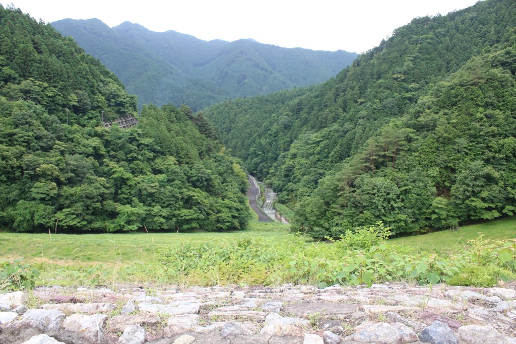
有間ダムの堤体と下流側
単なる山にしか見えませんがダムの堤体です

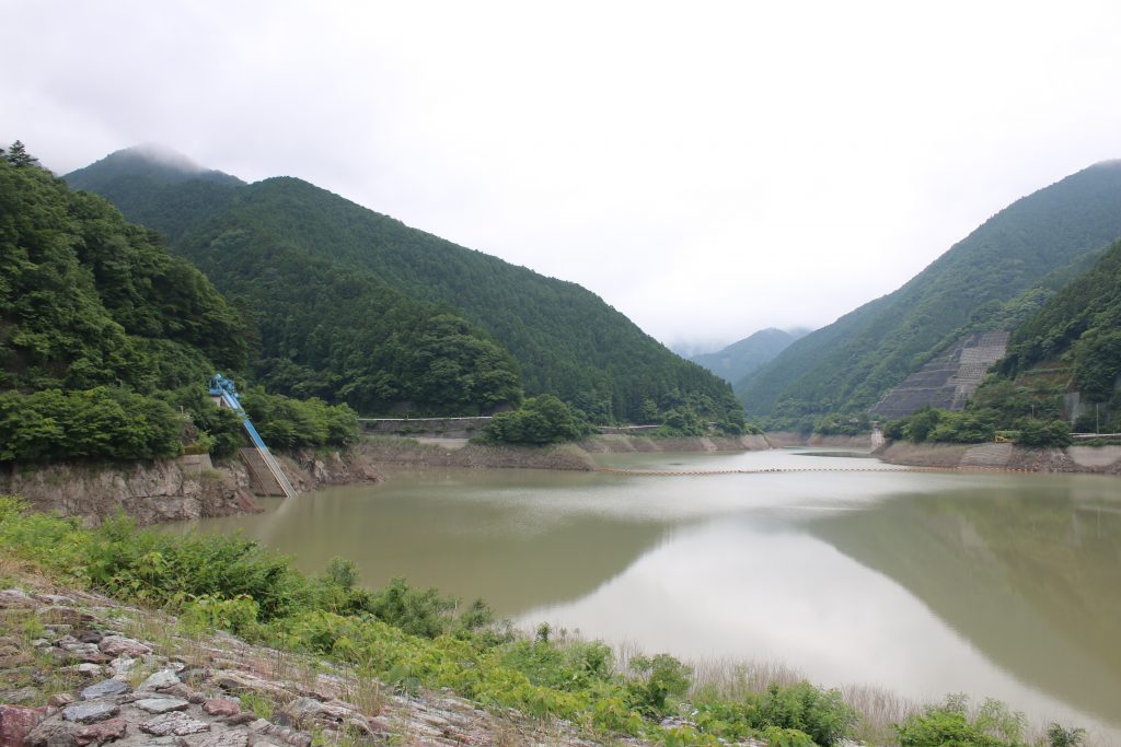
The photo above is taken from the body of ARIMA Dam from the top of the Dam. When the glass grows on the body of the dam, the body of the dam looks like just a hill or a mountain. The characteristics of ARIMA Dam is that the dam almost do not have mechanical equipment and water is released naturally from the spill way once the water level is over that. I am sorry that I forgot to take photo of the spill way and I have to do in the next chance. The way left is long and I returned to metro road 53rd. to CHICHIBU.

The spill way is beyond the blue structure in the left side.

The Road Station FRUIT PARK ASHIGAKUBO is my routine rest place

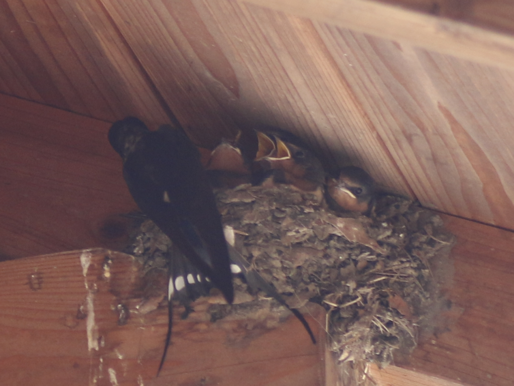
道の駅芦ヶ久保で出会った燕の親子
The road station FRUIT PARK ASHIGAKUBO where I had taken the photo of swallow that flied and turned quickly. I found a swallow cares it’s children.

There is the road park FRUIT PARK ASHIGAKUBO on the beside of route 299th near the merging point with metro road 53rd. The parking is spacious and the landscape with clear stream is my favorite. I remember that I took photos of swallows when I took rest there. They had complete their nest and work hard to care their children. The parent gathered the food and feed the children. It seemed it takes a little more time to grow the children to fly. The parents are always working hard for their children.

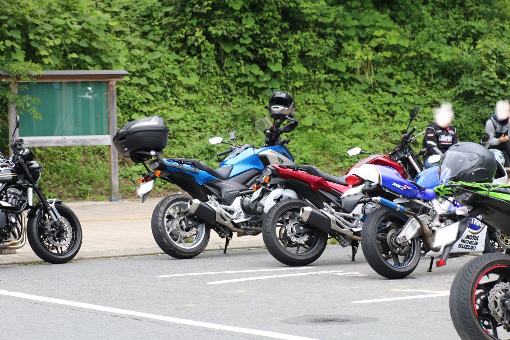
NC750SとNC750X
The red one is my NC750S. Beyond that NC750X, the brother of NC750S was parked.

A lot of motorcycle was parked in the parking. NC750X, the brother of NC750S was parked. You can find that the design is alike each other and that of the rear is same. RGVΓ( probably ’96 type ) was parked and I think if the blue Lucky Strike paint was novel when I write this blog.

After this, I left for FUTASE Dam. To be continued.

Solo-touring for URAYAMA Dam and TAKIZAWA Dam in CHICHIBU ( ver. TAKIZAWA Dam )

This blog is continued from the blog about terrible cherry fish. The road beyond the terrible cherry fish was … terminated. I returned on the same way to route 140 and headed for TAKIZAWA Dam. CHICHIBU side of TAKIZAWA Dam on route 140, FUDOTAKIFUKINHIROBA ( the Park Around FUDOTAKI Fall ) is there. There, you can see the body of TAKIZAWA Dam clearly. I parked NC750S there and took some pictures around.

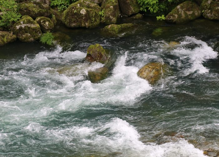
  • 滝沢ダム下流の中津川
    清流ではありますが、激流の一歩手前です。
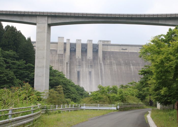
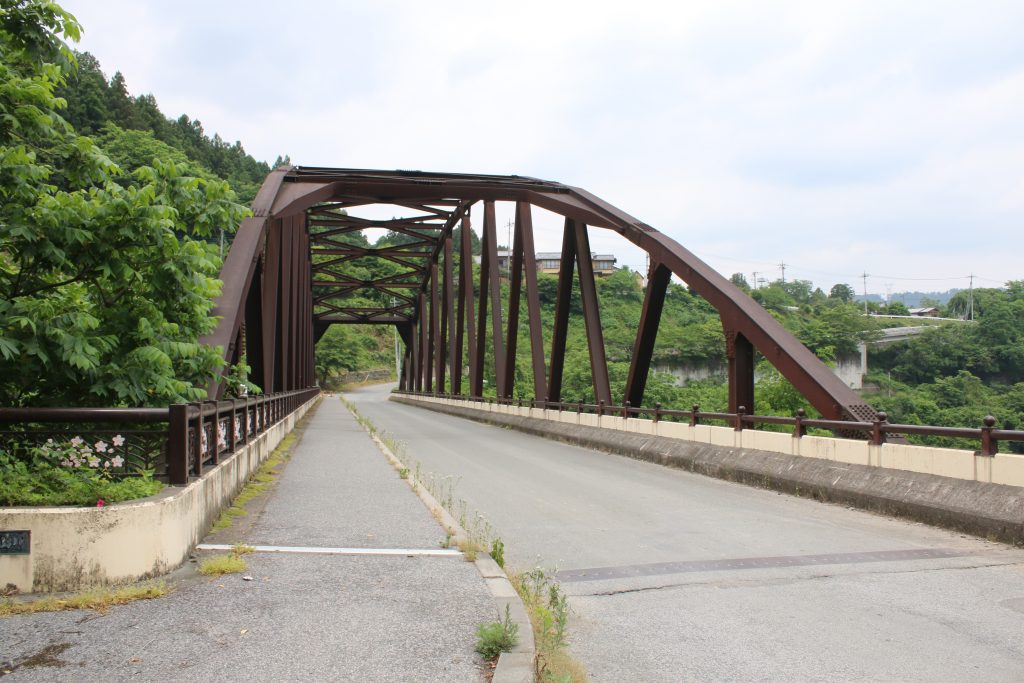
  • 滝沢ダムとループ橋
    滝沢ダムの堤高を国道140号線で登るために巨大なループ橋がかけられました
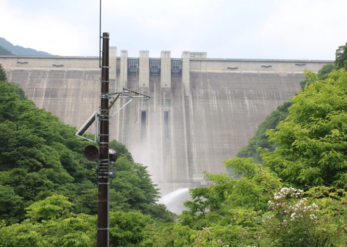
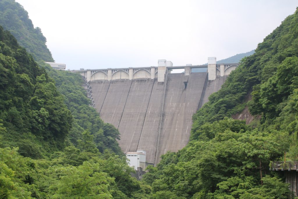
  • 放流中の滝沢ダムを下流側から望む
    ダム堤体の下側がやや霞んでいるのは放流の水しぶきの影響です

In this season, water may be released and the down flow of the dam is almost a white-water than a clear mountain torrent. The landscape you can see the dam body through RAIDENTODOROKIBASHI ( Bride on the Thundering Torrent, usually called the Loop Bridge ) is very characteristic. When I got near the body of the dam, I could find the water-release far. The pavement has been constructed around there but that was closed due to the effect of COVID-19.

I left the park for the body of TAKIZAWA Dam through the Loop Bridge. You can see the picturesque landscape on the bridge but parking on the bridge is prohibited and I could not take pictures. I recommend you to go there and experience the landscape.

The superb view from the body of TAKIZAWA Dam

滝沢ダムからループ橋を望む
滝沢ダムから下流側を望むとループ橋の全容が分かります

The photo above is the superb view from the body of TAKIZAWA Dam. The height of TAKIZAWA Dam is a little lower than URAYAMA Dam introduced former. But the length of the dam top is wider and the dam has the almost same volume of reservoir. TAKIZAWA Dam and URAYAMA Dam have the almost same scale and are so-called ‘high dam’. The design looks alike probably because they were planed in the same 1970’s. ( But the completion of constructing TAKIZAWA Dam was later than that of URAYAMA Dam. ) The operation of TAKIZAWA Dam has been started in 2011.

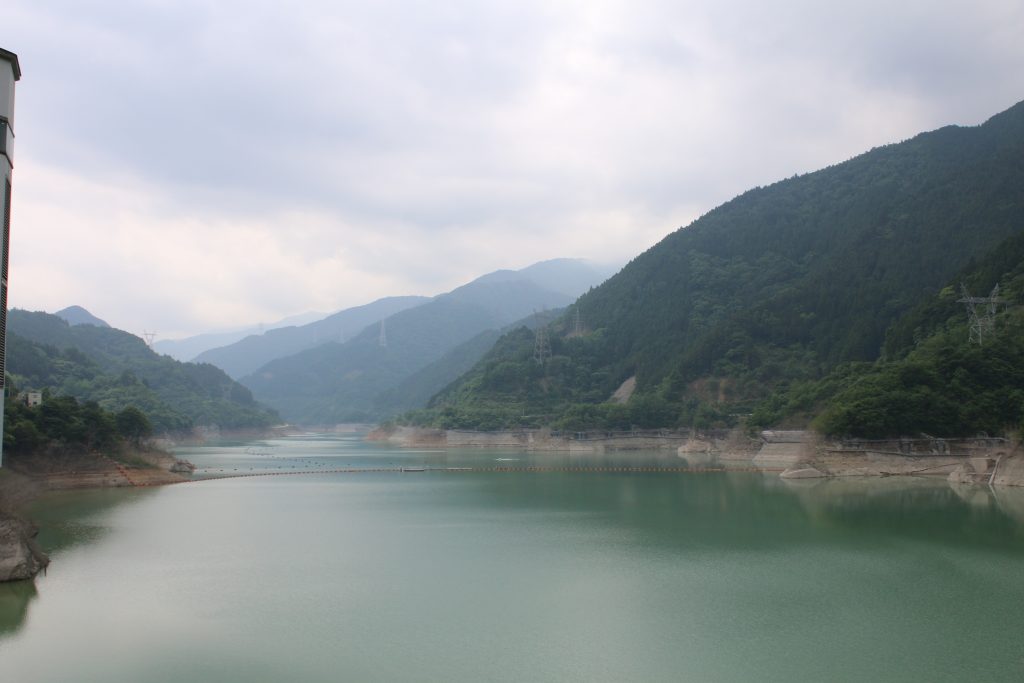
  • 滝沢ダムのダム湖
    このダム湖は奥秩父モミジ湖と命名されています。
  • 滝沢ダムの放流とつり橋
    滝沢ダムの通常吐とつり橋が見えます
  • つり橋と放水と人
    つり橋に人がいます。放水の規模が大きいことがわかります

The special of TAKIZAWA Dam is the dynamic landscape which constructs of artificial object including the Loop Bridge and nature. It is meaning full to see the Loop Bridge, because the Loop Bridge was constructed to provide the road to ascend the height of the dam.

The end of the solo-touring around the high dam in CHICHIBU

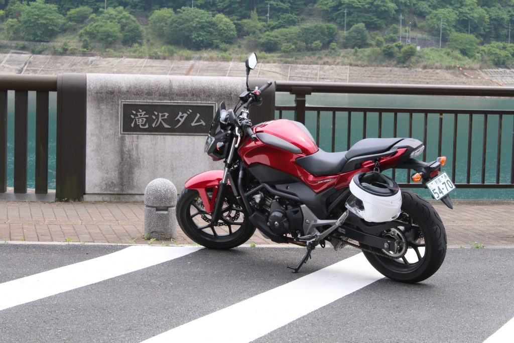
滝沢ダムでNC750S
記念撮影です。付属のヘルメットホルダー使用中。

This day I went to solo-touring around URAYAMA Dam and TAKIZAWA Dam on route 140 to take pictures. It is pity it was a cloudy and rainy day. But the superb landscape of the both dam impressed me.

Next blog, I will present the picture taking touring around FUTASE Dam and KAKKAKU Dam that are near from route 140.

Solo-touring for URAYAMA Dam and TAKIZAWA Dam in CHICHIBU(episode until URAYAMA Dam)

Someday, I rode for solo-touring to URAYAMA Dam and TAKIZAWA Dam in CHICHIBU. I took TOKOTOZAWA Street to Route 299 and got to Route 140. There is the entrance of URAYAMA Dam after a little ride on the north side of Mt. BUKO on Route140. First, I rode according to the sign that says ‘The downstream park of the dam’ to find a good looking bridge…

浦山ダム下流の橋
ダムの撮影に最適な橋があります

The second highest in Japan

浦山ダムの堤体
浦山ダムの堤体を下流側から望む

I saw the body of URAYAMA Dam in the upstream direction of the river. ‘Huge!’ was the first impression. To tell the truth I imagined a small dam because the word ‘URAYAMA’ means the mountain in back of a home. And it is also the reason that the dam is very near from town area of CHICHIBU ( about several kilometers long ) . The height of URAYAMA Dam is the second highest in Japan as a concrete gravity dam.

The sight from the body of the dam

秩父さくら湖(浦山ダムのダム湖)
浦山ダムのダム湖は「秩父さくら湖」と名付けられています

The reservoir of URAYAMA Dam is named as ‘CHICHIBU SAKURA Lake’ (= CHICHIBU CHERRY Lake ). The reservoirs are named ‘NISHICHICHIBU MOMO Lake’ ( = Western CHICHIBU PLUM Lake’ ) for the reservoir of KAKKAKU DAM, ‘OKUCHICHIBU MOMIJI Lake’ ( = BACK CHICHIBU Maple Lake’for the reservoir of TAKIZAWA Dam respectively. They are built on the side of Route 140. On the side of Route 140, FUTASE DAM exists but the reservoir of the dam is named as ‘CHICHIBU Lake’ normaly. Probably FUTASE dam had been constructed in early 1950’s and the impression of the name of the reservoir was not so thought as important.

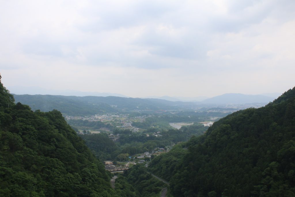
浦山ダムから市街と武尊方面を望む
手前が秩父市街地、奥には天気が良ければ武尊山が見えるそうです

When a fine day, you can see Mt.HOTAKA and NIKKO mountains in the down stream direction from the body of the dam. But it was cloudy and they were hidden by foggy air.

Sculptures for touching are the special of URAYAMA Dam

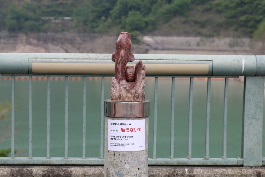
触れない鯉の後生車
触らないで の文字が切ない

The sculptures are the special of URAYAMA Dam according to myself impression. The one of the photo above is ‘KOI NO GOSHOUGURUMA’ ( = GOSHOGURUMA of Carp). In Japanese carp and a love are both pronounced ‘koi’. So this sculpture will make dreams of love come true, if you rotate the cylinder in the right side of the carp once, twice and third time whispering ‘please make my dream of love come true!’. But the red sign says ‘DO NOT TOUCH’ due to COVID-19. You can find other sculptures that make various dreams come true. I recommend you to visit the dam to make your dreams come true.

The design of URAYAMA Dam

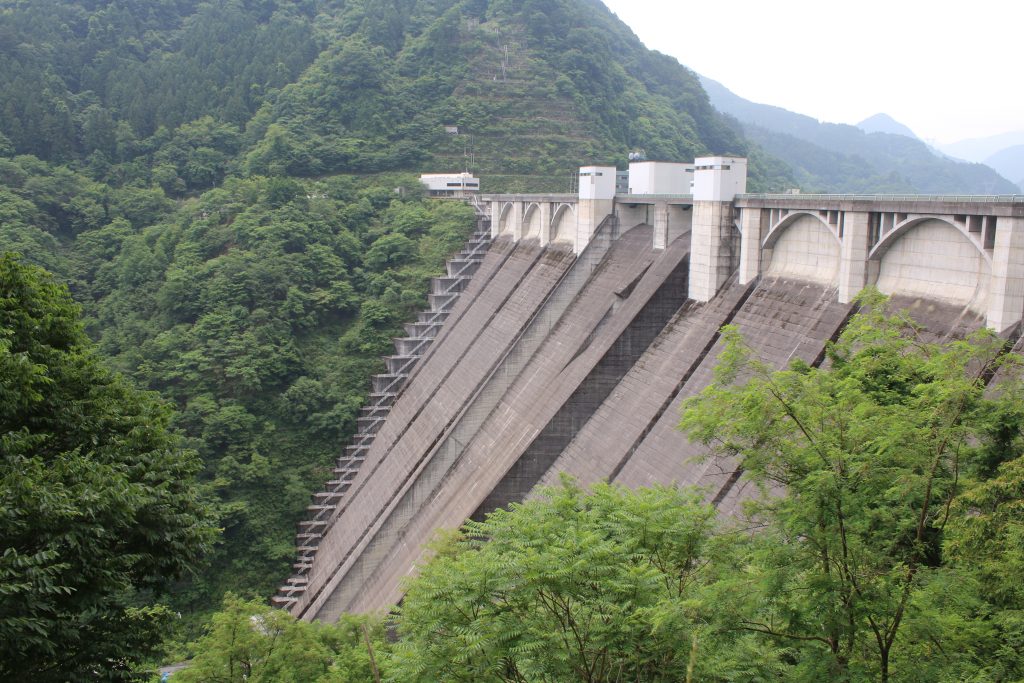
浦山ダムの堤体を側面から望む
浦山ダムの堤体を側面から望む

The most important thing of dam is its practical use. But some ornaments the designer intentionally designed can be seen in a part. The arch shaped ornaments are the characteristic in URAYAMA Dam.

NC750S at URAYAMA Dam

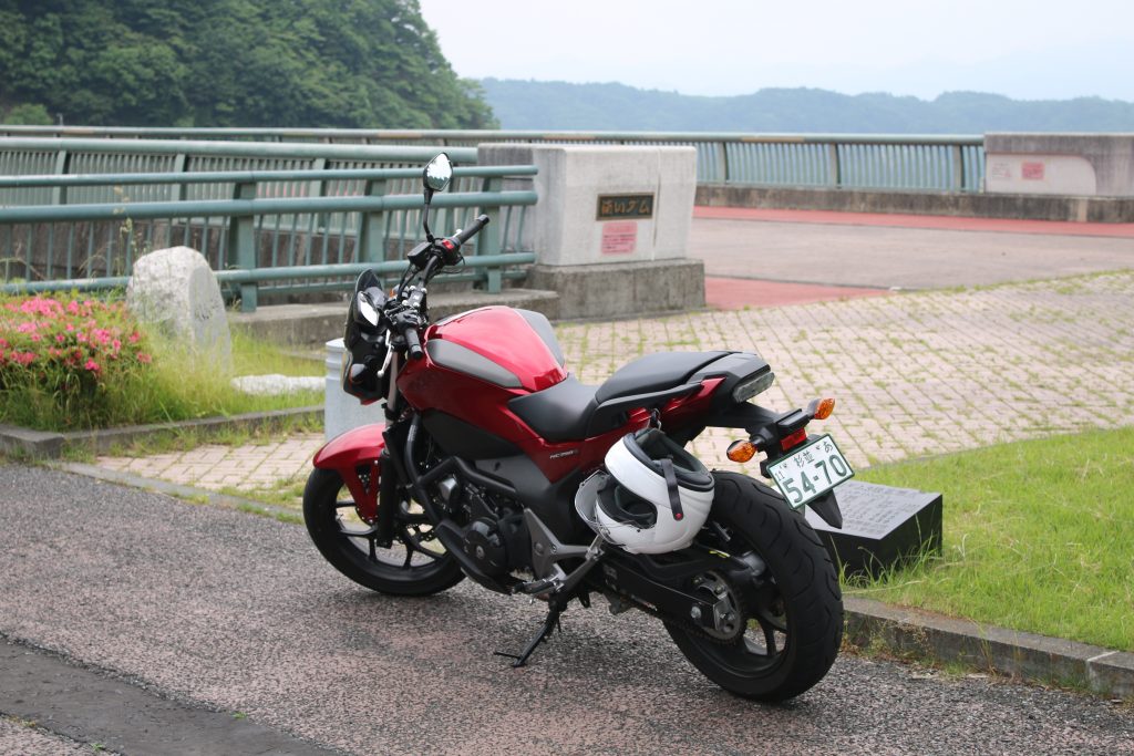
NC750Sの記念撮影@浦山ダム
最近ヘルメットはホルダーに架けてます

I took photo of NC750S. After this, I rode on Pref Road 73 for NAGURI …, the road was terminated. I got back and I changed the destination to TAKIZAWA Dam and the dam touring series started!