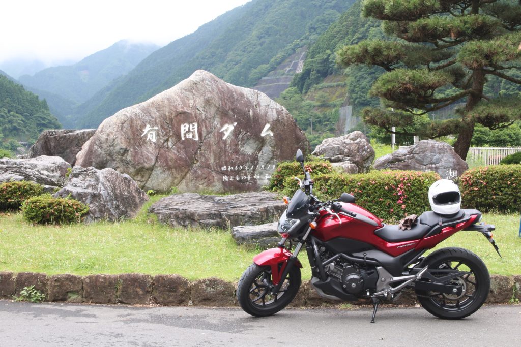
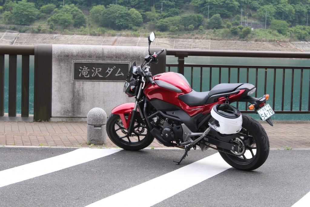
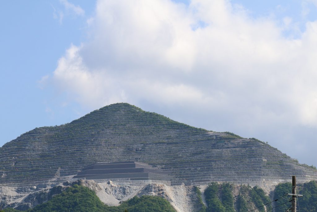
This story is continued from the part of ARIMA Dam. I rode on route 140 through route 299 to get to RAIDENTODOROKI Bridge ( so called loop bridge). Beyond the bridge I get to TAKIZAWA Dam. The entrance for FUTASE Dam. is CHICHIBU side than TAKIZAWA Dam and I seemed to overlook the entrance. The sign on route 140 does not say ‘FUTASE Dam’ but ‘CHICHIBU Lake’. I recommend you to be careful when you will go to the dam, but you usually will not overlook if you use car navigation system.
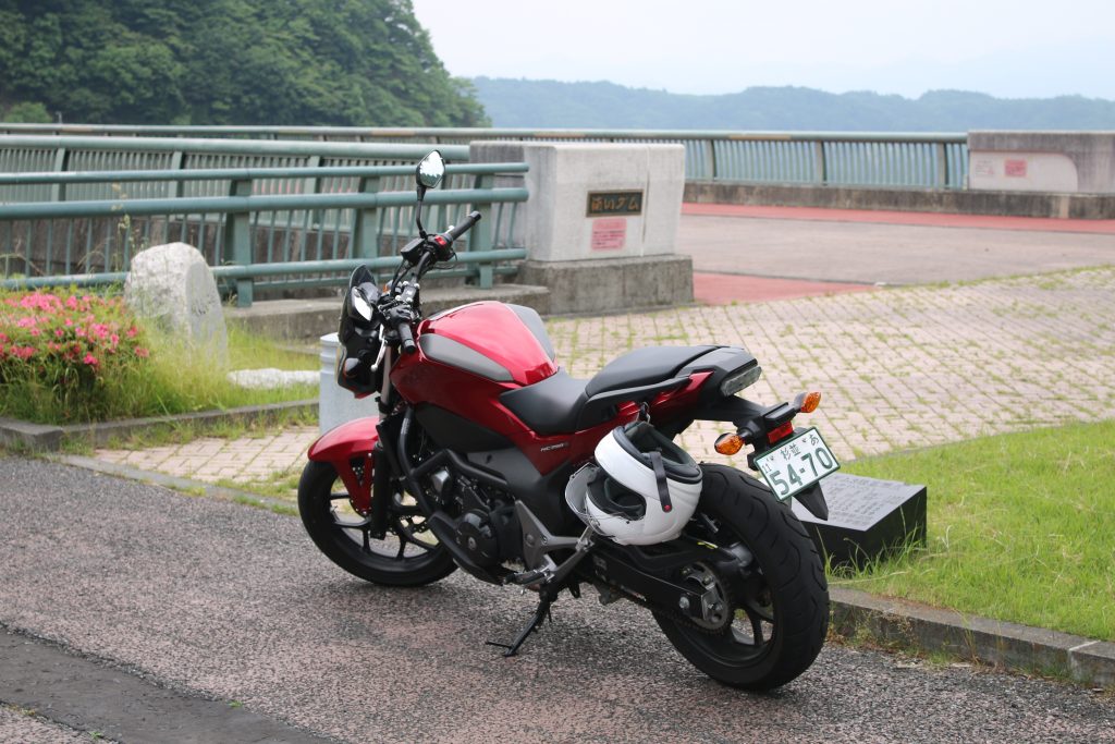
Arrival at FUTASE Dam
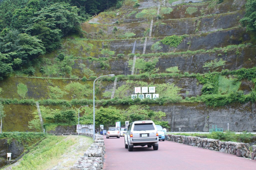
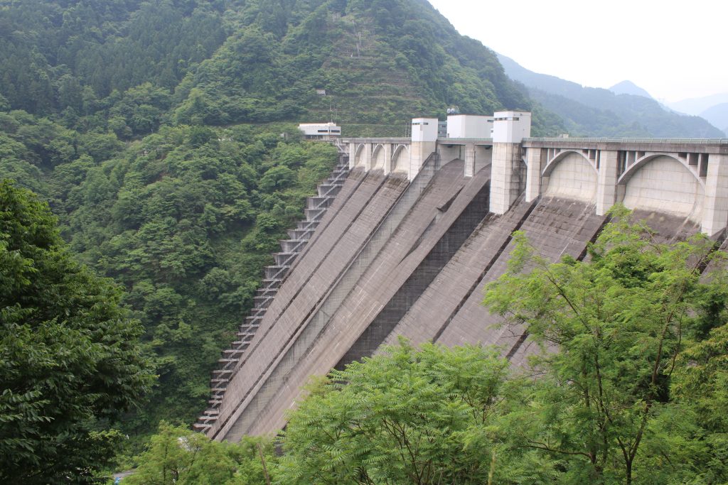
You can get to FUTASE Dam by a little ride from route 140 to pref. road 278. The rest park served as also an observatory is available. The parking is enough large but the equipment and shops around look old. The dam is completed in 1961, it is natural that they are old if they had been built at the same time.
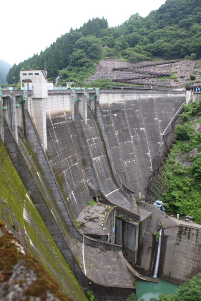
The Beautiful Arch of FUTASE Dam
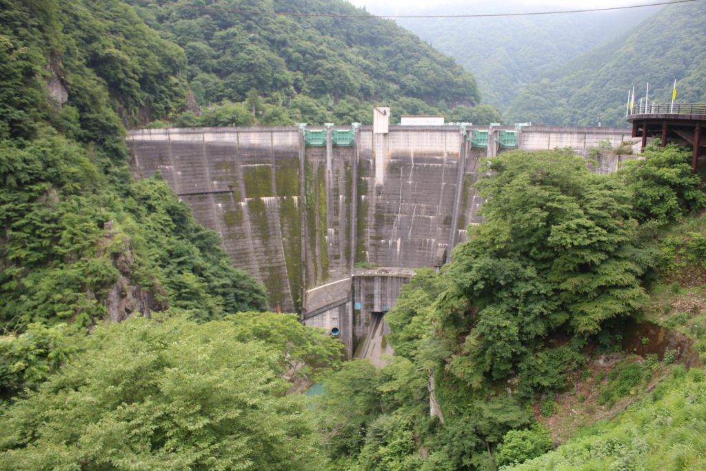
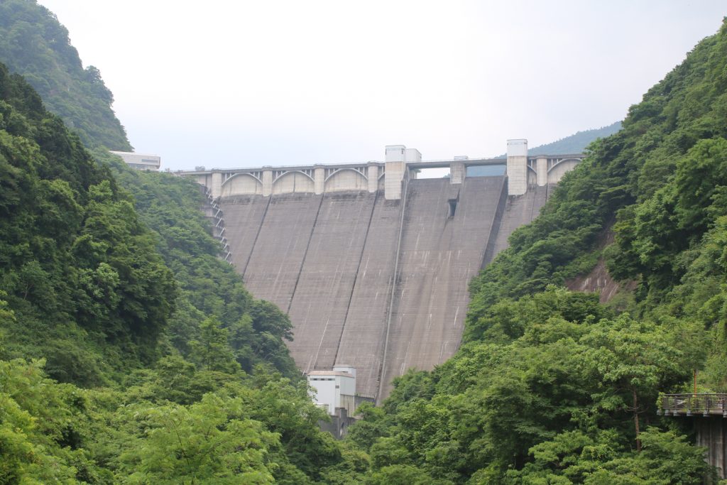
FUTASE Dam had been realized as a concrete arch dam when it had been completed. The arch is beautiful and the design is so different from that of URAYAMA Dam or TAKIZAWA Dam ( the both is a concrete gravity dam) . The parking is located in front of FUTASE Dam on the left side of pref. road 278 and you can reach MITSUMINE Shrine through the road on the dam.
Though the dam had been realized as an arch dam, recently it is realized as an arch-gravity dam. The design of the dam never changed but the classification is updated and variegated.
Pref. road 278 on the dam is served as a one way, alternative traffic by the signal timing. So the waiting time of the signal is longer than usual, but it is in order. Actually, the top of the dam is narrow and cars can not cross each other. The signal must be followed.
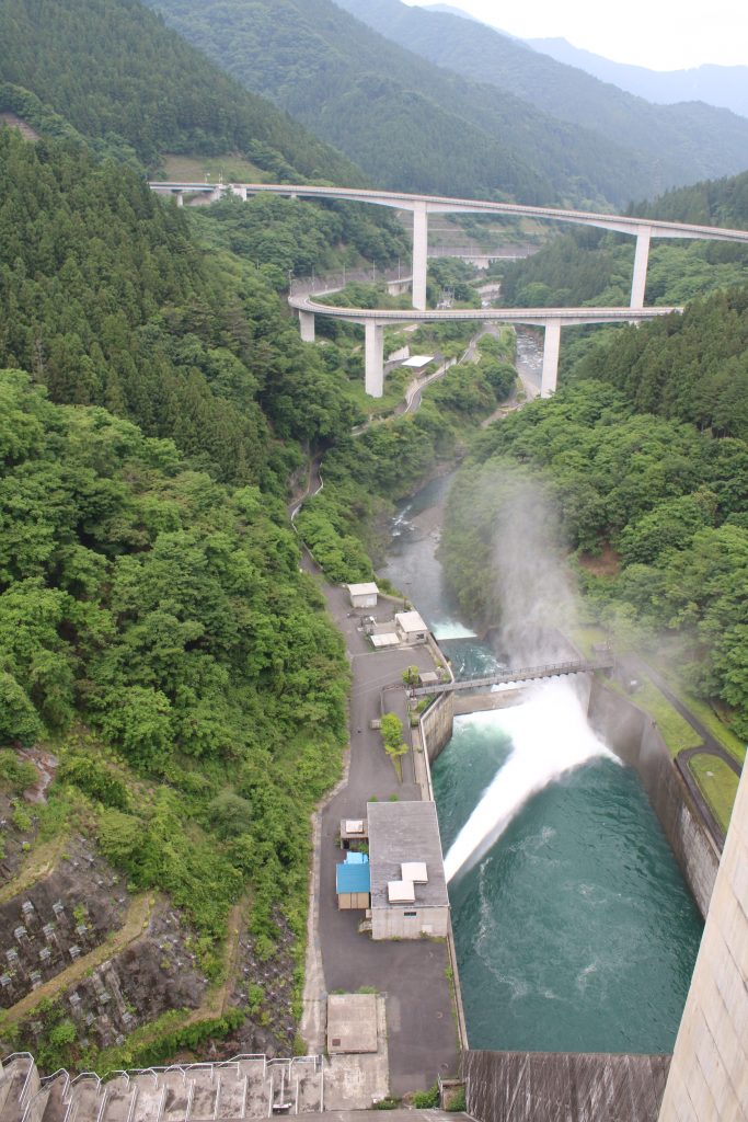
The photo above was taken from the right bank of the dam. The ski jumping slope shaped spill way is very characteristic. The main purpose of FUTASE Dam is flood control but at the same time power plant is operated. The power plant is built under the ski jumping slopes. You can find the zigzag fold in the photo. The pavement has been equipped there and you can see the dam from bird’s eye view.
The Beautiful Arch of FUTASE Dam
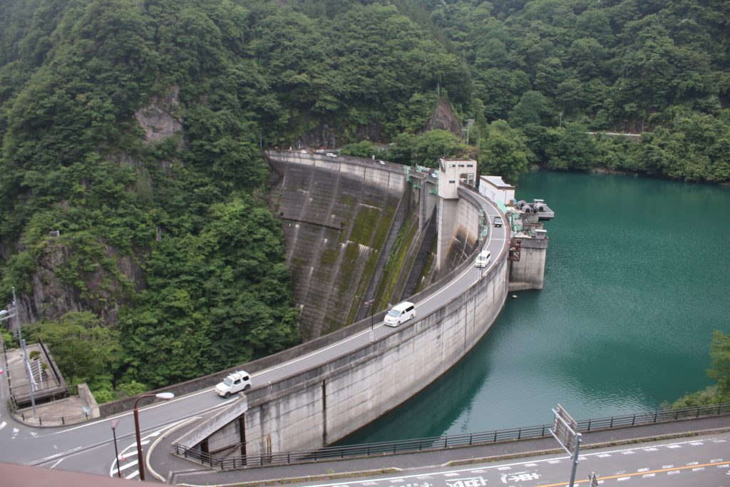
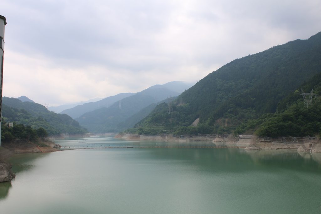
The photo above was taken from the observatory on the left bank of the reservoir. Pref. road 278 stretches on the arch shaped top of the dam. The landscape that edge of dam body seems to penetrate the rocky mountain is powerful and impressive. On the top of dam, more cars run than I imagined because there is the famous shrine, MITSUMINE Shrine through pref. road 278 to mountain side.
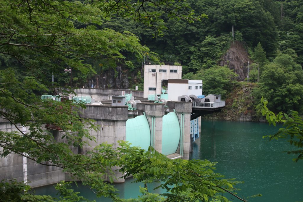
The gates of spill way are also arch shape and it is interesting. I would like to take more photos but it started to rain and the way to KAKKAKU Dam was left. I left FUTASE Dam for KAKKAKU Dam to complete 3 dams a day touring.
To be continued to the part of KAKKAKU Dam.